Measuring commands: DIST, AREA, ID, LIST
Four commands report geometric information without changing the drawing. Results appear on the command line. The buttons are in Draw ▸ Utilities ▸ Measure (Distance, Area, ID Point, Measure Geometry).
DIST, AREA and ID take points as mouse clicks (with object snaps) or typed coordinates. For example DIST → 0,0 → 30,40 gives Distance = 50.0000, ….
DIST (alias DI) — distance
Pick two points 1, 2. The result: distance, angle in the XY plane, and the differences ΔX, ΔY.
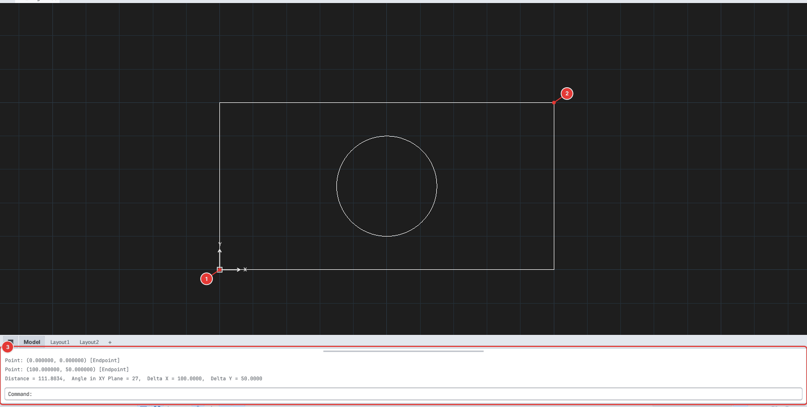
Distance = 111.8034, Angle in XY Plane = 27, Delta X = 100.0000, Delta Y = 50.0000. Command line 3.AREA (alias AA) — area
- Click the corners of an area in turn, then Enter, to get the area of that polygon.
- Type
O(Object) then click a closed object — rectangle, circle, closed polyline: you get Area, Perimeter and Centroid.
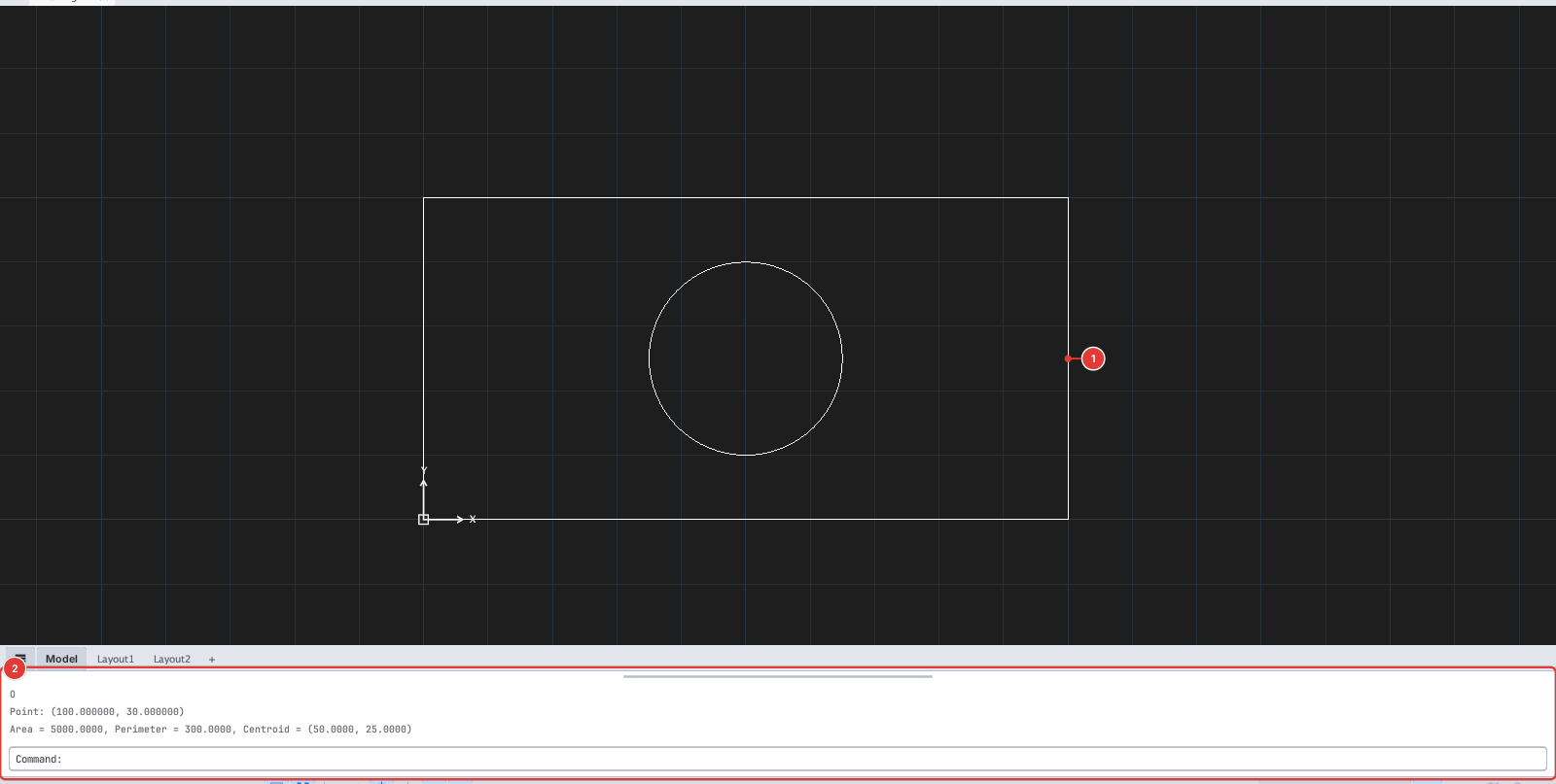
AREA, O, click the side of the rectangle 1: Area = 5000.0000, Perimeter = 300.0000, Centroid = (50.0000, 25.0000). Command line 2.ID — coordinates of a point
Click a point 1; the command line reports its X, Y, Z (and the object snap used).
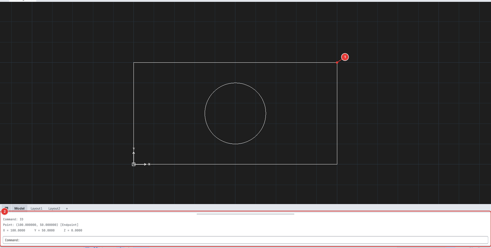
ID, click the corner 1: X = 100.0000 Y = 50.0000 Z = 0.0000. Command line 2.LIST (alias LI) — object information
Click an object 1: the command line lists its type, geometry (centre, radius, circumference…), handle and layer. Enter to pick another.
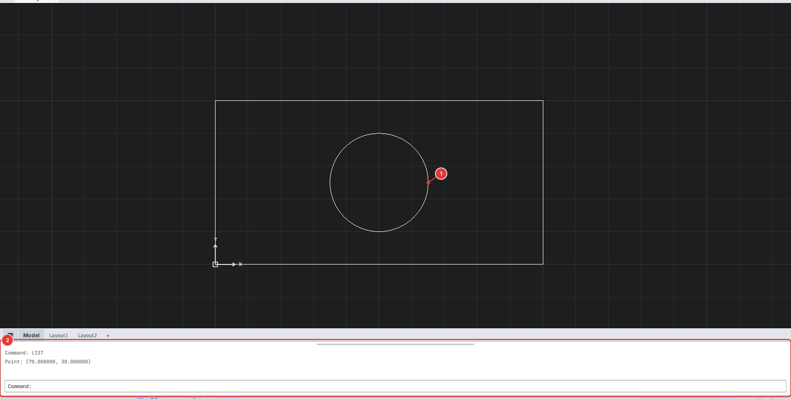
LIST, click the circle 1: CIRCLE center=(50.000,25.000) r=15.0000 circ=94.2478 handle=2 layer=0. Command line 2.The number of decimals in the results follows the Precision of UNITS. The Properties palette (with an object selected) also shows and edits these values.