Capturing the map as an image (GEOMAPIMAGE)
 Ribbon: GIS ▸ Map ▸ Capture Map / Snap to MapCommand:
GEOMAPIMAGEAlias: GEOSNAP, MAPTOIMAGE
The basemap is only a display backdrop; it is not plotted with the drawing. GEOMAPIMAGE captures the part of the map you are viewing as a located image inserted into the drawing, so it can be plotted and used with no network.
- Locate the drawing and turn the map on (
GEOMAP STREETS). - Zoom to the area you want.
- Type
GEOMAPIMAGE.
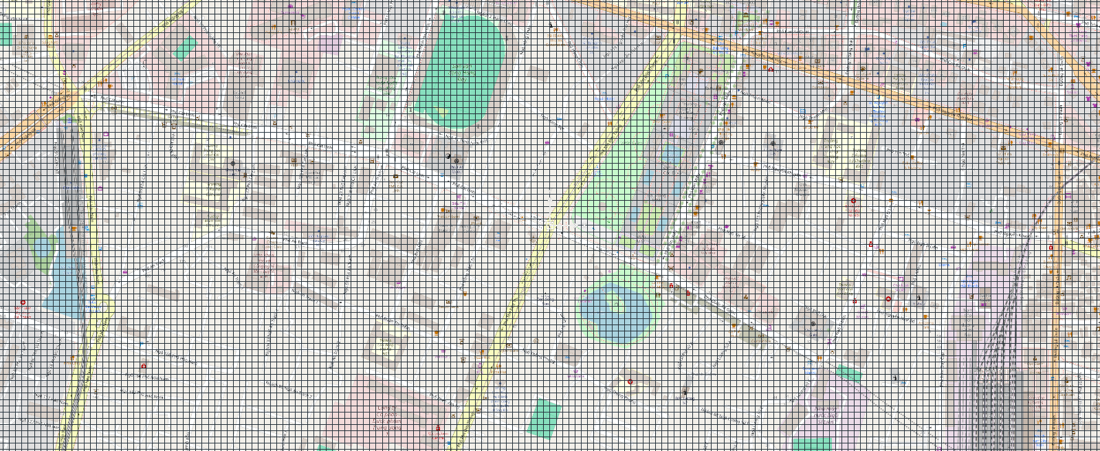
The command line reports the image size and the number of tiles stitched. Then turn the basemap off (GEOMAP OFF) — the inserted image stays as an ordinary object:
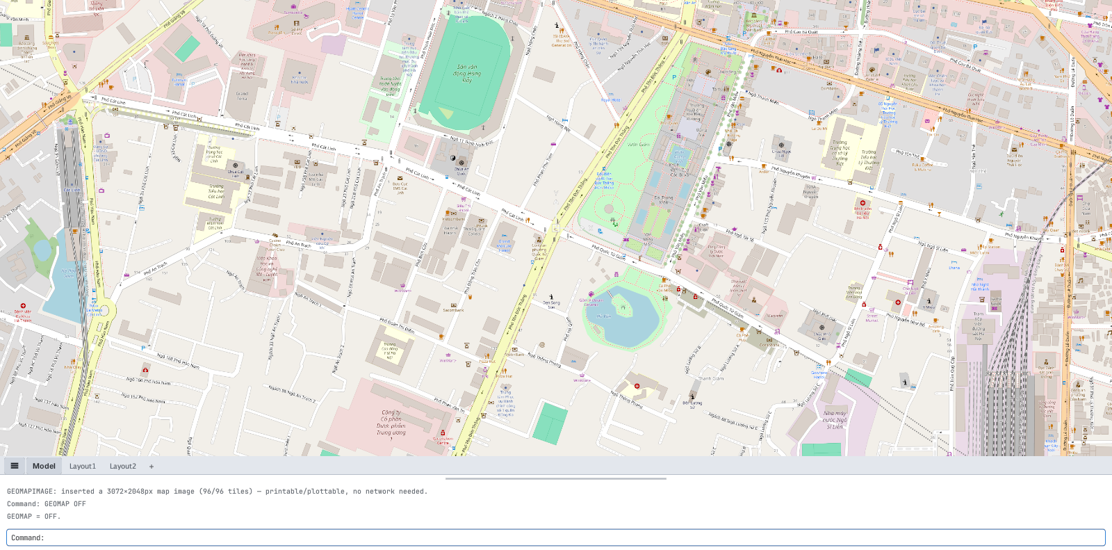
GEOMAPIMAGE: inserted a 3072×2048px map image (96/96 tiles)… — the image still shows after GEOMAP OFF.- Not located or map off: the command line says
GEOMAPIMAGE: requires GEOREF + GEOMAP <mode> (other than OFF) first.

GEOMAPIMAGE before locating / turning the map on.- If the view is too wide (more than 144 tiles) it says
view too large … zoom in closer and try again: zoom closer and capture again. - The image is captured north-up (no rotation).