Locating the drawing (GEOREF)
 Ribbon: GIS ▸ Location ▸ Set LocationCommand:
GEOREF 21.0278 105.8342Alias: GEOGRAPHICLOCATION, GEO
Locating pins the drawing's origin (0,0) to a point on Earth. Every drawing point then has a latitude / longitude and the basemap lines up with the drawing. Drawing units are taken as metres: draw in metres and put (0,0) at the anchor point you choose (for example a site benchmark).
Setting the location
Type GEOREF <latitude> <longitude> (latitude first, then longitude; separated by spaces or a comma), for example Hanoi:

GEOREF 21.0278 105.8342: the drawing origin (0,0) is latitude 21.0278°, longitude 105.8342°.Latitude must be within [-90, 90] and longitude within [-180, 180]; otherwise the command line reports an error and changes nothing:

GEOREF 120 105: the latitude exceeds 90 so it is refused.Type GEOREF with no numbers to see the current state (not georeferenced if none is set):

GEOREF with no arguments before locating.Once located, the status bar also shows the cursor's latitude / longitude next to X, Y. If the drawing has a path (it has been saved) the location is stored beside it in a .kufgeo side file and reloaded on open.
Marking a lat / long point
GEOMARKLATLONG <latitude> <longitude> places a Point object at that geographic position (locate first). The command line reports the matching drawing coordinates. Use PTYPE to change the point style so it is easy to see.
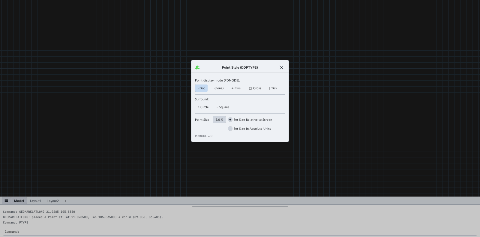
GEOMARKLATLONG 21.0285 105.8350 (about 100 m north-east of the origin).Removing the location
GEOREMOVE clears the location and also turns the basemap off.

GEOREMOVE: geolocation cleared.Coordinate system and VN-2000
KufCad uses WGS84 longitude / latitude and the Web Mercator projection to place the basemap; the drawing keeps local metre coordinates around the anchor. There is no conversion to VN-2000 (or UTM) and no coordinate-system picker yet: if your drawing is already in VN-2000 coordinates (for example Y ≈ 1 150 000) you can still draw and measure accurately (KufCad handles large coordinates) but you must enter the latitude / longitude of the origin yourself for the basemap to line up.