Basemap (GEOMAP)
 Ribbon: GIS ▸ Map ▸ BasemapCommand:
GEOMAP STREETSAlias: GEOPANEL
GEOMAP shows a basemap right under the drawing. Locate the drawing first so the map lines up.

GEOMAP STREETS without a GEOREF: the map turns on but reminds you to run GEOREF first.Turning the map on
Type GEOMAP <style>:
| Style | Map |
|---|---|
STREETS | Streets (OpenStreetMap) |
SATELLITE | Satellite imagery |
HYBRID | Satellite with labels |
TERRAIN | Terrain |
DARK / LIGHT | Dark / light background, good under a drawing |
OFF | Map off |
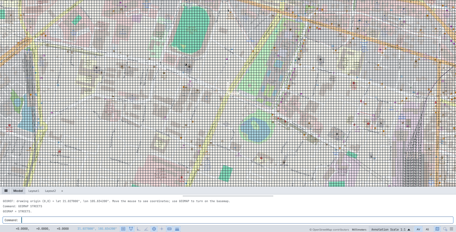
GEOMAP STREETS after GEOREF 21.0278 105.8342: the Hanoi area map; the status bar shows the © OpenStreetMap contributors credit.Mistype the style and the command line lists the valid ones:

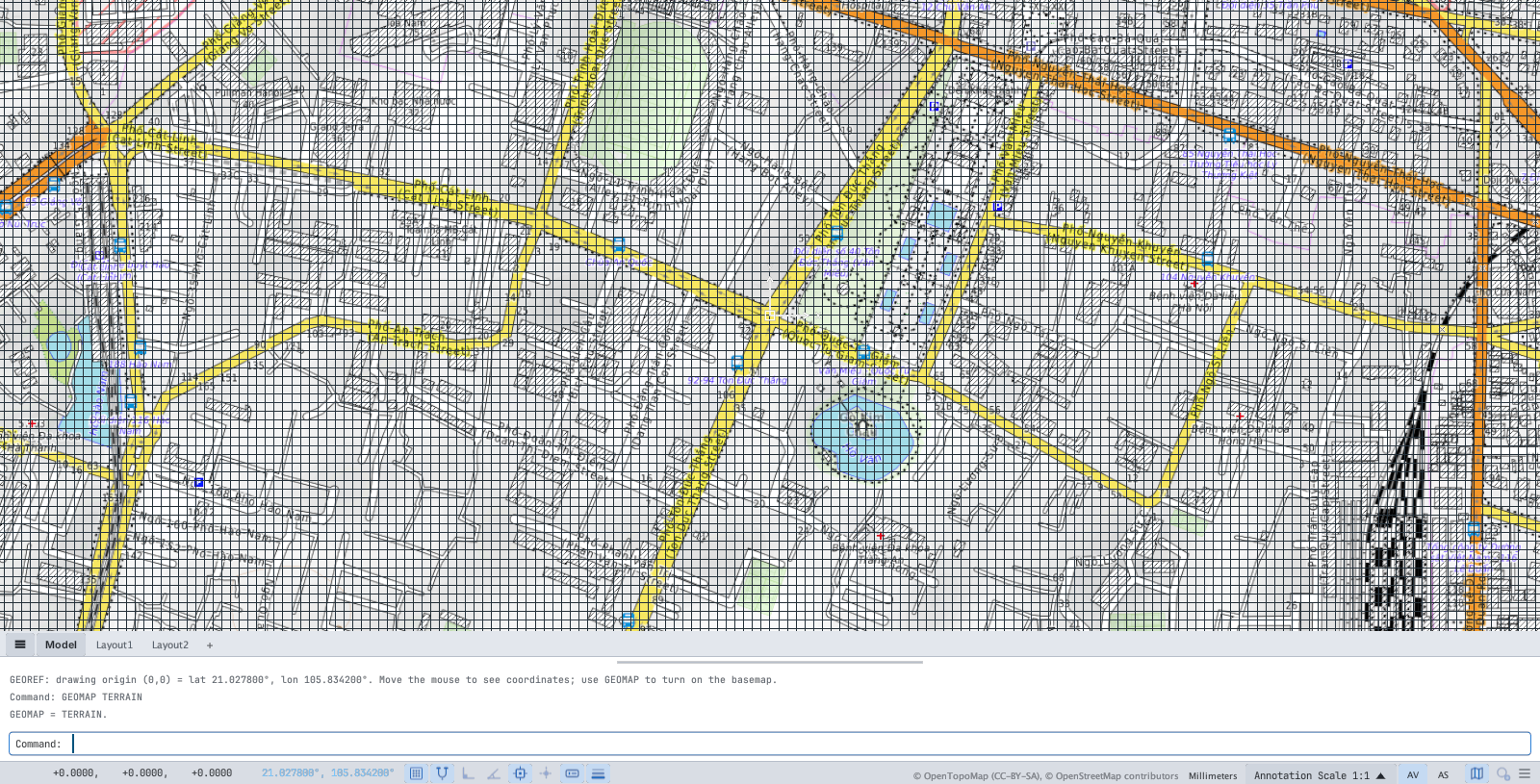
STREETS (left) and TERRAIN (right).Map sources require a visible credit: the © line on the status bar is always shown while the map is on. Turn the grid off (GRIDMODE = 0) to see the map more clearly.
Opacity
GEOMAP OPACITY <0-100> sets the map opacity so the drawing stands out.
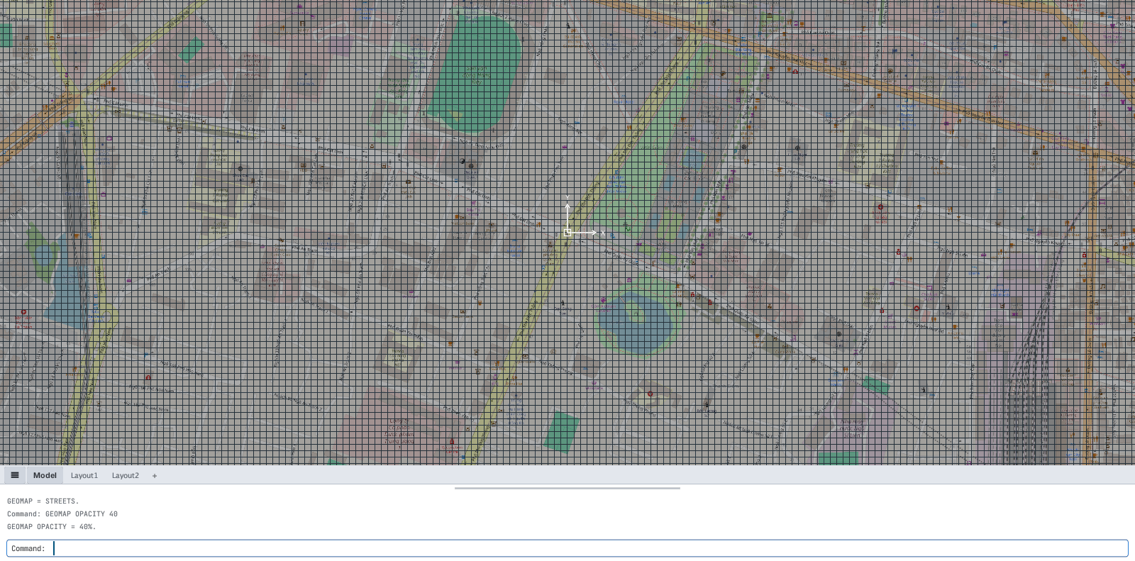
GEOMAP OPACITY 40: the map becomes paler.The GIS panel
Click Map Panel (or type GEOPANEL, MAP) to open the GIS Basemap panel — everything above, with the mouse:
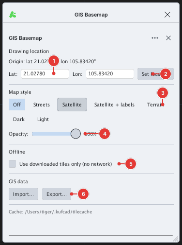
- Origin / Lat / Lon / Set location — view and set the location (same as
GEOREF). - Map style — Off, Streets, Satellite, Satellite + labels, Terrain, Dark, Light.
- Opacity — the opacity slider.
- Use downloaded tiles only (no network) — offline mode: only saved map tiles are used and the network is never touched (useful with no connection; areas never viewed stay blank).
- Import… / Export… — GIS data in / out, see GIS import / export.
- Cache — the folder where viewed map tiles are stored.
The map button at the right of the status bar toggles the panel quickly.
With no network
Tiles you have viewed once are in the cache folder and are reused with no connection. In areas never viewed the map cannot load and stays blank — the drawing works normally.